Equipment

GPR
A subsurface imaging system, GPR can be used to delineate both metallic and non-metallic features. By far, it has the most uses and applications of any of the geophysical techniques currently available. However, it can be complicated to use and its data difficult to interpret. Interchangeable antenna systems are connected by cable to the GPR unit. The antenna is moved across the ground (or structure) and a data-image is generated on the system's monitor. Generally, data profiles are collected and recorded on the project site for analysis and data post-processing at the office.
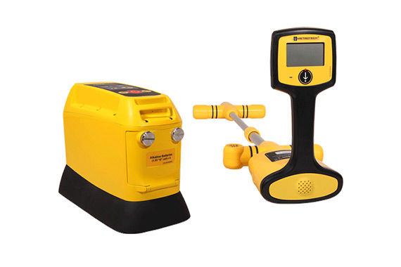
EM
Electromagnetics (EM) geophysical instruments work by
generating an electromagnetic field. As the instrument is moved over the ground subsurface features will interact with the EM field providing interpretable data. The EM instrumentation used by Geo-Graf is a relatively small, hand-held device designed for use in urban scenarios. We use EM to delineate subsurface metallic objects and conductive subsoil.
Magnetics
Magnetic geophysical instruments are technically vertical field gradiometers. This small hand-held device detects the
magnetic field emanating from the ground. Thus, only objects containing iron (which naturally produces a magnetic field) or features that generate a magnetic field such as energized cables are detectable via this technology.
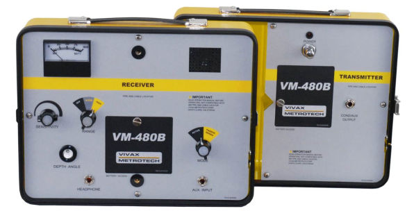
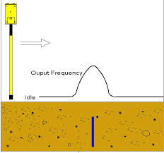
RF
Radio Frequency (RF) is used locate and trace metallic
utilities. Generally, an RF instrument
consists of a separate signal transmitting unit and a signal receiving unit. The
transmitting unit is placed near or
connected to the utility to be traced. The hand-held receiver will then detect the signal as it follows the utility. RF is the technology used by the "one-call" for public utility mark-outs.
